Rain and flood warnings increase in south-west France after storms
- Select a language for the TTS:
- UK English Female
- UK English Male
- US English Female
- US English Male
- Australian Female
- Australian Male
- Language selected: (auto detect) - EN
Play all audios:

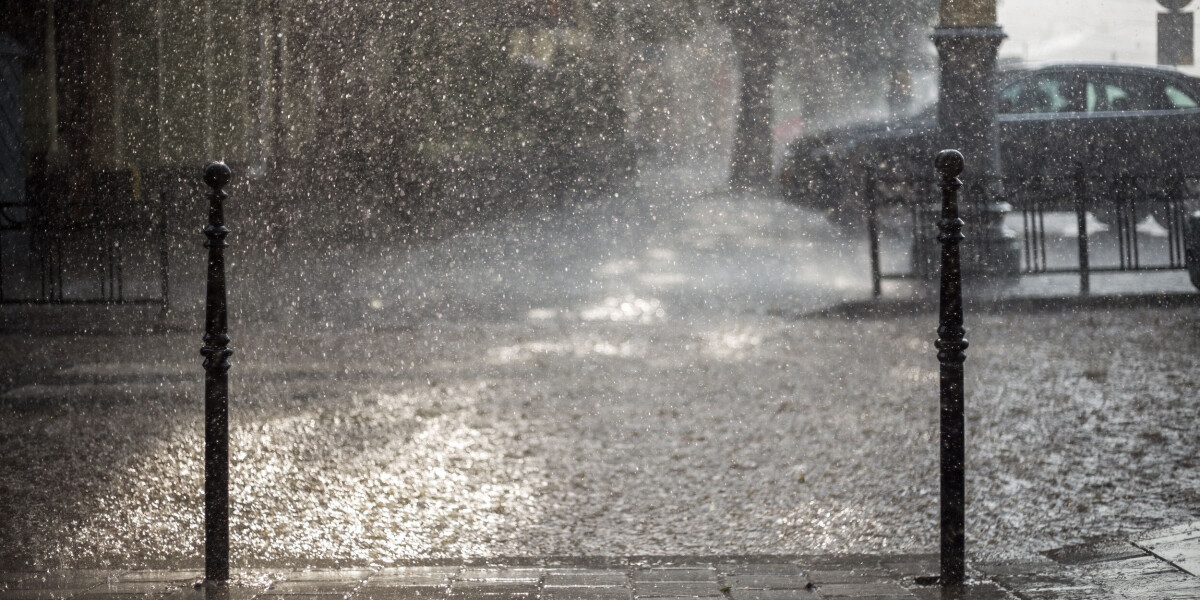
Heavy rain and flash flood warnings are in place in south-west France today after heavy storms battered the area last night.
Tier-three orange alerts are in place in five departments: Ariège, Gers, Hautes-Pyrénées, Haute-Garonne, and Pyrénées-Atlantiques. The latter had already seen warnings put in place yesterday
afternoon.
These departments faced the brunt of last night’s stormy weather – which also made its way across the centre and north-east of France – and were hit by heavy rainfall.
State forecaster Météo France predicts some areas in the affected departments will see 100 mm of rainfall between yesterday morning and this afternoon.
The warnings are currently set to be lifted in the early afternoon, when rain will stop, however those in the area should remain cautious with roads likely to be flooded.
More than half of French departments are facing tier-two yellow warnings for storms, including all of the south, the east, and parts of the north.
Only Brittany, Normandy, the Loire valley, and areas around the capital are not facing storm warnings.
Read more: Storms in France: what to do if at home, out walking or in car
The passing storms are also leading to river flood warnings being raised in some areas of central France. You can use the official VigiCrues website to check which rivers are at risk.
Three departments – Alpes-Maritimes, Haute-Corse, and Corse-du-Sud – are still facing severe heatwave warnings, expected to last until at least Thursday (August 15) evening.
You can keep up to date with all weather warnings on the official Météo France website.
Updates on warning levels are given twice per day, at 10:00 and 16:00, sometimes more frequently during periods of extreme weather.