See: dramatic scenes of rising river water after heavy rain in france
- Select a language for the TTS:
- UK English Female
- UK English Male
- US English Female
- US English Male
- Australian Female
- Australian Male
- Language selected: (auto detect) - EN
Play all audios:

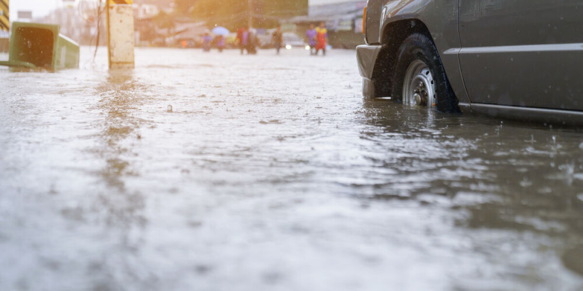
FLASH FLOODS HAVE PARTICULARLY AFFECTED THE CÉVENNES FOOTHILLS Parts of southern France have been inundated with rainfall this week with a _cévenol_ storm hitting the area hard. Rainfall
began in earnest on Tuesday night, and in some areas well over 150 mm or rainfall has fallen in the last 48 hours. The intense storm has led both to flash floods and burst riverbanks,
particularly in the foothills of the Cévennes. Residents and weather channels captured a number of dramatic scenes. We have curated some of these social media clips below. CALM BEFORE THE
STORM This first photo shows the dramatic skyline of the Cévennes foothills yesterday (October 18) evening, with a streak of lightning running directly past a hill. > #orages sur les
cévennes ⛈️📷 pic.twitter.com/LuvzpJiKG7 > — laurent 🇫🇷🇺🇸🏉📷 (@laurentcastel1) October 18, > 2023 Others showed the clouds gathering menacingly other the mountains: > "Il pleut.
J'entends le bruit égal des eaux ; > Le feuillage, humble et que nul vent ne berce, > Se penche et brille en pleurant sous l'averse ; > Le deuil de l'air afflige les
oiseaux." > 🌳🌧🏡💦 > 📖 Sully Prudhomme > 📷 Claudie Guifo > 🗺 Saint-Jean-du-Pin#Cévennes #Gard #Oraterra > pic.twitter.com/8YQjFSv0yf > — Les Cévennes d’Oraterra
(@Cevennes_) October 19, 2023 The post below shows the rainfall captured in the Ardèche department during the night, hitting balconies and gardens hard. > ⛈ Les orages les plus forts
touchent le Gard mais il pleut > également beaucoup en Ardèche comme ici à Aubenas. (© Christiane > Brunel) pic.twitter.com/WHSaTOA32T > — Météo Express (@MeteoExpress) October 18,
2023 RIVER FLOODING ACROSS SOUTH The most dramatic scenes, however, were of rivers breaking their banks. One river in the Hérault department flooded nearby roads with quick flowing clay-red
water, after incessant rainfall swelled the usually minor waterway. > #orages sur les cévennes ⛈️📷 pic.twitter.com/LuvzpJiKG7 > — laurent 🇫🇷🇺🇸🏉📷 (@laurentcastel1) October 18, > 2023
The river Lergue also broke its banks, flooding nearby areas and affecting the town of Lodève. In the Gard, the usually calm Boisseson river broke its banks, unleashing a torrent of water
sliding downhill. > ⛈ Les pluies sont diluviennes dans les Cévennes. Images du > ruisseau de Boisseson au sud de Saint-Jean-du-Gard. (© Corinne > Cabanis Mourgues via Météo Gard)
pic.twitter.com/rMpCkSdXBM > — Météo Express (@MeteoExpress) October 18, 2023 WILL THERE BE FURTHER DAMAGE? Flooding from cévenol storms can be particularly severe, both due to the
intensity and rapidness of downpours, which makes it difficult to protect areas before they are damaged. The damage is also exacerbated by the difficulty in knowing exactly where rainfall
will hit. THE PHENOMENA BEHIND _CÉVENOL_ storms means that whilst one valley can be hit by extreme flooding and burst rivers, the next valley over can remain relatively calm and peaceful,
with no rain in sight. More rainfall is expected throughout Thursday (October 19), although the worst effects of the storm will be over by the evening. Some rainfall will persist into
Friday, up until the afternoon – in the south-east, however, STORMS ARE SET TO HIT HARD OVER THURSDAY NIGHT with heavy rain potentially lasting into the weekend.