Storms to batter south-west france and paris on thursday evening
- Select a language for the TTS:
- UK English Female
- UK English Male
- US English Female
- US English Male
- Australian Female
- Australian Male
- Language selected: (auto detect) - EN
Play all audios:

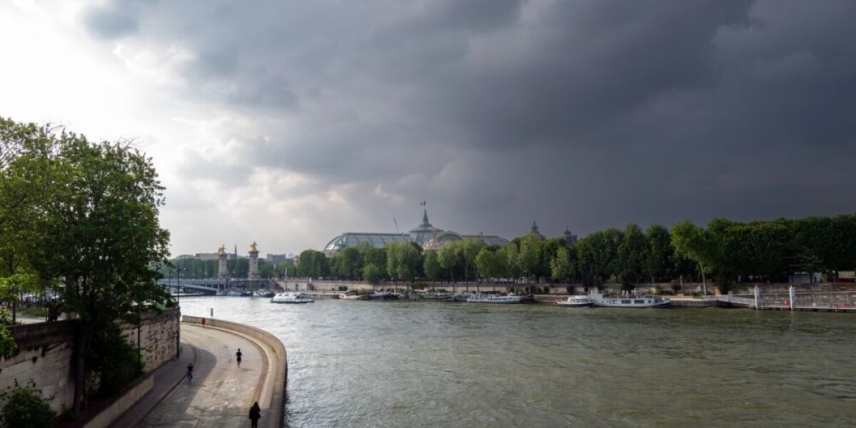
WEATHER ALERTS HAVE BEEN RAISED IN MORE THAN 50 DEPARTMENTS FOR AUGUST 30 BY MÉTÉO FRANCE Storm warnings have been raised in the south-west and north of France for this evening (August 29).
The French weather service, Météo France has issued warnings in more than 50 departments, as the storms make their way from the Atlantic coast to the Belgian border. Currently, these are
all tier-two yellow warnings, but this may increase if the storms become more powerful. > Les #orages éclatent en Nouvelle-Aquitaine. Ils ne progresseront > pas beaucoup
aujourd'hui, mais seront assez fréquents jusqu'à > demain sur ces mêmes secteurs, en particulier sur la côte et sur > les Pyrénées. Prudence ⛈️ pic.twitter.com/oVFb6enwd0
> — La Chaîne Météo (@lachainemeteo) August 29, 2024 Atlantic storms first struck the south-west coast in the morning, passing through central France and hitting Paris and the north in
the afternoon. The storms will remain potent over the south-west and Pyrénées overnight, as well as near Paris and Reims in the north. Areas around Bordeaux will see up to 50mm of rainfall
in under 24 hours during the storms. Many of the same departments are facing storm warnings tomorrow (Friday August 30), when they will increase in intensity. This will particularly be the
case in the Loire Valley, Ile-de-France and Hauts-de-France regions, and along the Pyrénées mountains. Read more: Storms in France: what to do if at home, out walking or in car